In this tutorial, we'll run COPYGB several times to do the following:
- Interpolate to a predefined NCEP grid.
- Interpolate to a user-defined Lat/Lon grid.
- Interpolate to a user-defined Lambert Conformal grid.
- Interpolate to a user-defined Polar Stereographic grid.
Predefined NCEP Grid
First, we'll run the wgrib tool to dump out information about a sample GRIB file:
The -V argument for wgrib dumps out the definition of the grid on which the data resides. This data is on a Lambert Conformal grid with the grid definition parameters listed below:
Lambert Conf: Lat1 12.190000 Lon1 -133.459000 Lov -95.000000
Latin1 25.000000 Latin2 25.000000 LatSP 0.000000 LonSP 0.000000
North Pole (185 x 129) Dx 40.635000 Dy 40.635000 scan 64 mode 8
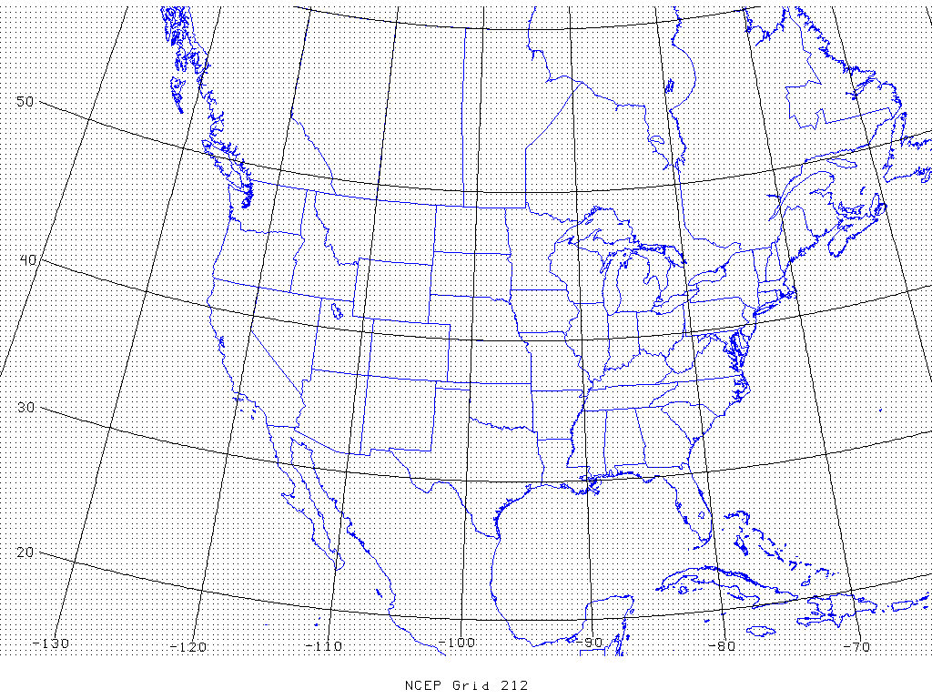
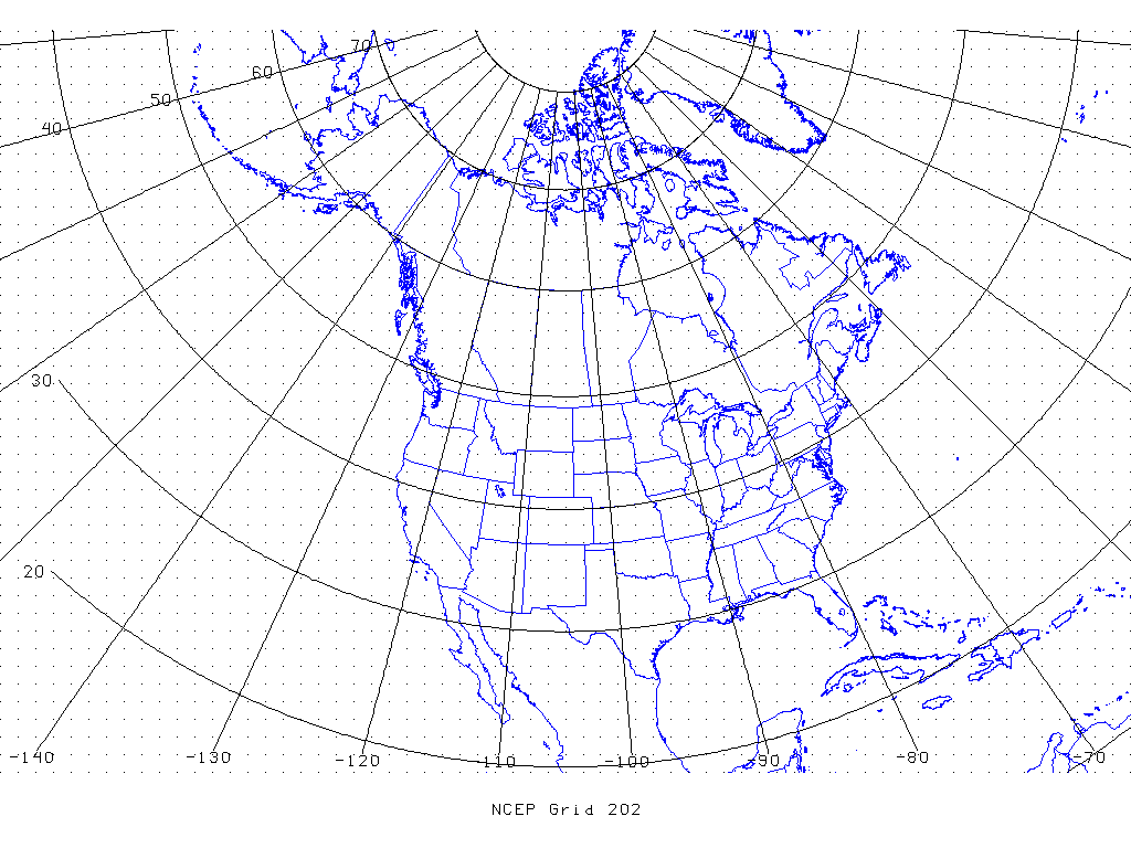
This data resides on NCEP Grid 212 (image), a 40-km Lambert Conformal grid over the contiguous United States. Now run COPYGB on this file to interpolate this data to NCEP Grid 202 (image), a 190-km Polar Stereographic grid:
copygb.exe \
-xg 202 \
$MET_TUTORIAL_DATA/input/sample_obs/ST2ml/ST2ml2005080712.Grb_G212 \
$MET_TUTORIAL_DATA/output/copygb/ST2ml2005080712.Grb_G202
In the command above the -x option indicates that we want the data to be extracted and the -g 202 option indicates that the data should be interpolated to NCEP Grid 202. Next, run wgrib on the output and note that the grid definition has changed:
The resulting grid definition parameters are listed below:
polar stereo: Lat1 7.838000 Long1 -141.028000 Orient -105.000000
north pole (65 x 43) Dx 190500 Dy 190500 scan 64 mode 9
For a list of the predefined NCEP grids available, please see:
http://www.nco.ncep.noaa.gov/pmb/docs/on388/tableb.html